In 30 seconds
- 1
The Grand Canal is a regional transport system; its Hangzhou section belongs within a wider network.
- 2
A bridge carries people across water while preserving passage for boats below.
- 3
Riverside leisure coexists with hydrological management and daily maintenance.
From scenery to infrastructure
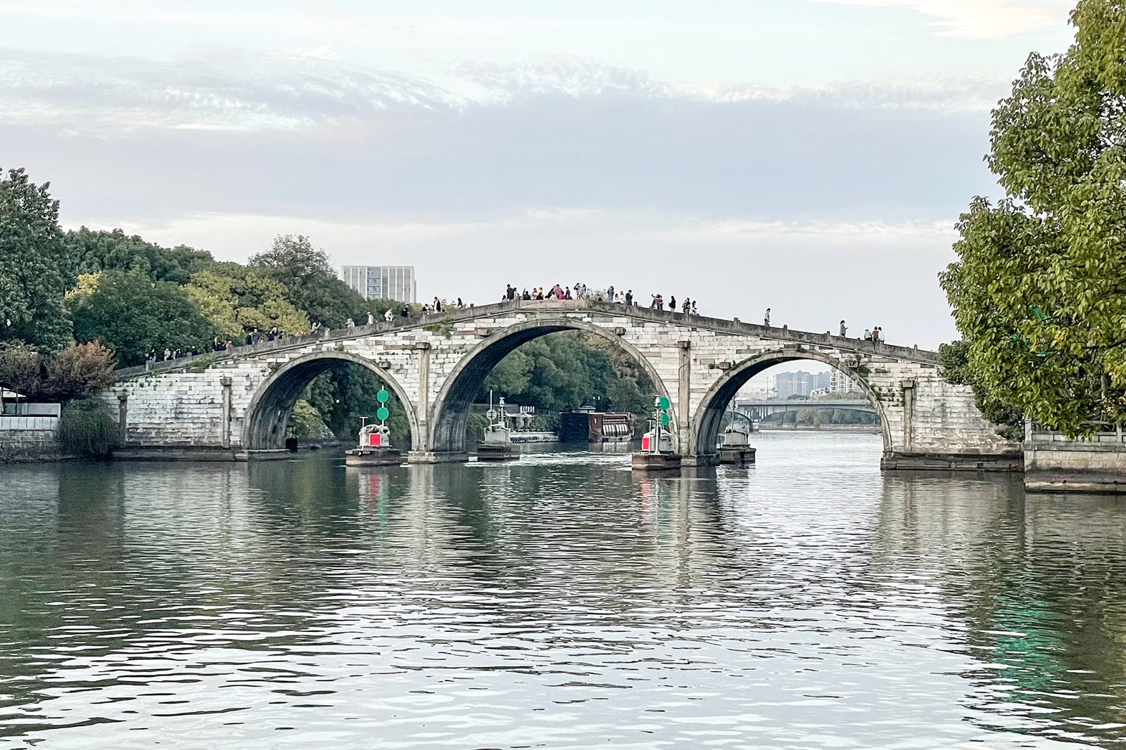
The Grand Canal was not dug all at once as a single river. Successive periods built, connected and maintained a vast system. UNESCO highlights grain and material transport, administration and urban development. Gongchen Bridge offers not only a reflection but practical questions: how people cross, boats pass, goods reach streets and changing levels affect the banks.
The bridge has layers of building and rebuilding. Official Hangzhou Asian Games cultural material discusses differing accounts and notes the name in 1631. The nearby hydrological station, established in 1920, supplies river information for flood and drought management and the city. Ancient crossing and modern observation together reveal a living environment requiring measurement and use.
On the spot
01
People above, boats below
Where to standA public bank position with a side view of the bridge.
From the side, compare arches with the present water level, not only the highest outline. Bridge slope creates clearance and approaches join the crossing to urban circulation. Boat size and water level affect what can actually pass; an arch does not establish identical vessels throughout history. Steps also reveal the negotiation between pedestrian access and navigation. Different users’ needs are readable within one structure.
NoticeCompare a passing boat’s height with an arch while remaining outside working or closed areas.
02
The bank connects water and street
Where to standAn open riverside path away from loading areas.
Study walls, rails, steps and buildings, distinguishing pedestrian facilities from water-transport infrastructure. Steps towards water are not automatically visitor access, and wear alone cannot establish an unchanged function. Reuse connects former working areas with leisure; seating, planting and lights change how people linger. Naming each facility’s role explains this urban section better than a generic “water-town” label.
NoticeIdentify three bank facilities and who each serves.
03
Water level makes scenery measurable
Where to standPublic hydrological interpretation or markers visible from a public bank.
Water may appear stable, but hydrology studies continuous change. Level, rainfall and flow are different: high water does not necessarily mean fast flow, nor does rainfall change every canal section equally. The station’s history and interpretation explain why measurement belongs to city life. Record time and position for a visible scale; one reading is not a flood forecast, and equipment is not an invitation to cross barriers.
NoticePhotograph the water against a fixed bank reference and note the time.
04
Watch different speeds meet
Where to standA spacious public place beside the canal.
Walkers, visitors and boats use the canal at different speeds. Watch wakes, movements at bridge approaches and places where residents linger. Daily life is not a programme staged for tourists, and one afternoon cannot summarise every resident’s routine. Connect observed actions with spatial conditions: why one place suits sitting, another passage, and another management or transport.
NoticeObserve for five minutes and connect one waterside activity with one on the bank.
A river never has only one use
The canal’s relationship with the city has changed through institutions, transport and industry, now including heritage, tourism and public life. A promenade does not mean a waterway has ceased working; historic grain transport does not mean every section retains that role. Establish time and place for each use instead of blending past and present into a vague scene.
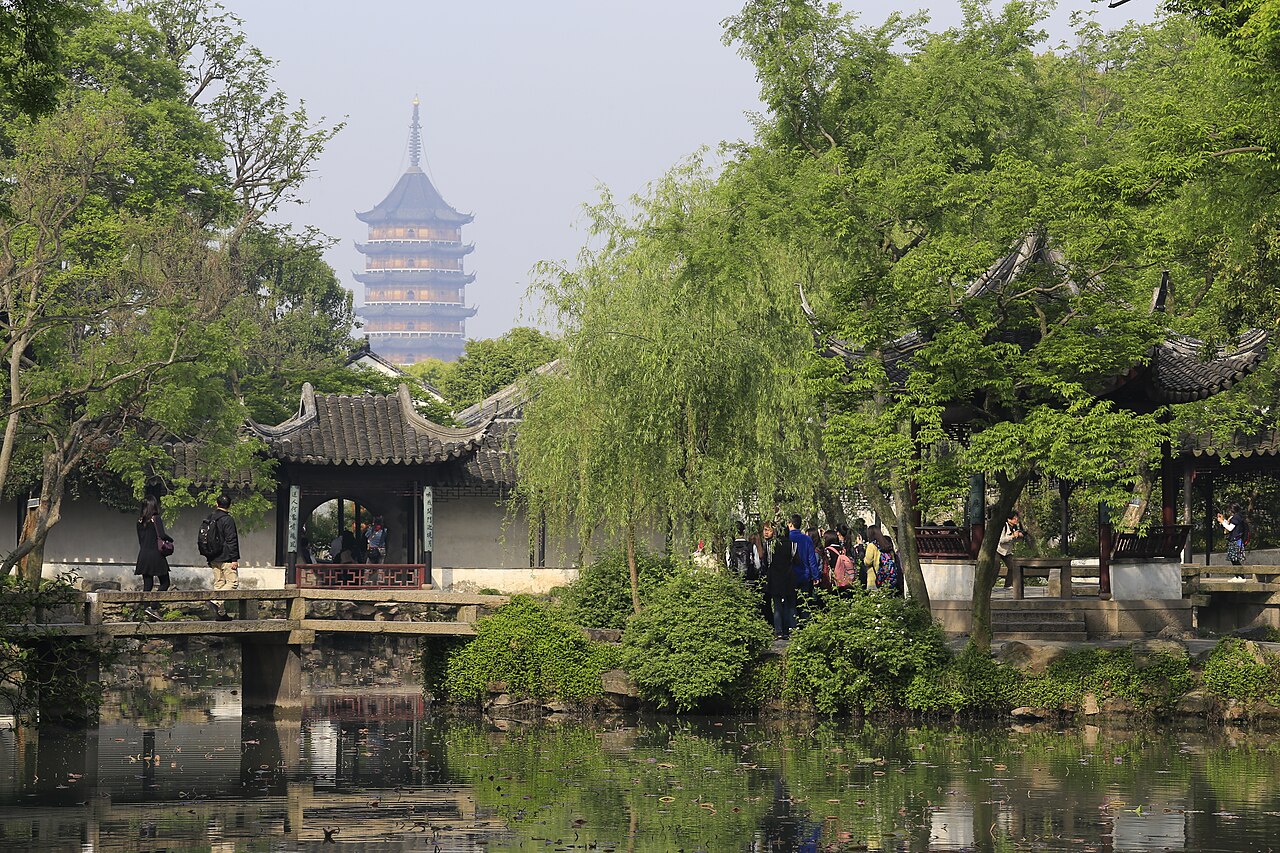
Suzhou and Yangzhou offer comparisons without being replicas of Hangzhou. Garden ponds, urban canals, crossings and transport waterways differ in scale and purpose. Read one section carefully, then carry the method to another city and compare the connections between people and water rather than collecting bridges and reflections alone.
Going further
Before you go
- Walking conditions
- The bridge has stone steps; viewing from the bank reduces climbing. Expect slippery surfaces in rain.
- Pacing
- Allow 45–60 minutes for bridge and bank observation as a suggested visit length. Museums, boats and hydrological displays have separate access arrangements.
Being a good guest
- Do not straddle rails or enter closed waterside steps and loading areas.
- Step aside for photographs and keep steps and crossings clear.
- Do not touch or move hydrological markers or equipment.
- Do not throw coins or food into the canal or chase animals on the bank.